Map
Plot the records of a database on a map from a Location field, then open or move records from their markers.
The Map view plots the records of one database on a map. It reads the position of each record from a Location field of the database.
To open it, select Map in the view type menu of the database toolbar, or press M.
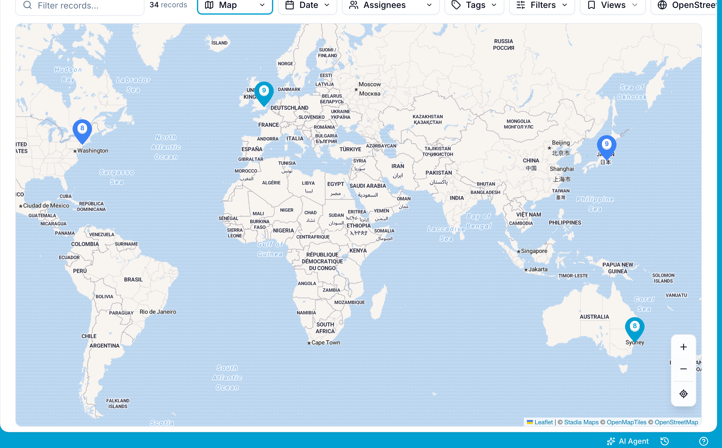
Choose the location field
The database needs at least one Location field. If it has none, the map shows This database has no location fields. Add a Location field in Settings > Databases > Fields.
If the database has more than one Location field, select the field in the menu at the top left of the map.
The map shows only the records that have a value in the selected field. If no record has a value, the map shows No records have this location field set.
Use map markers
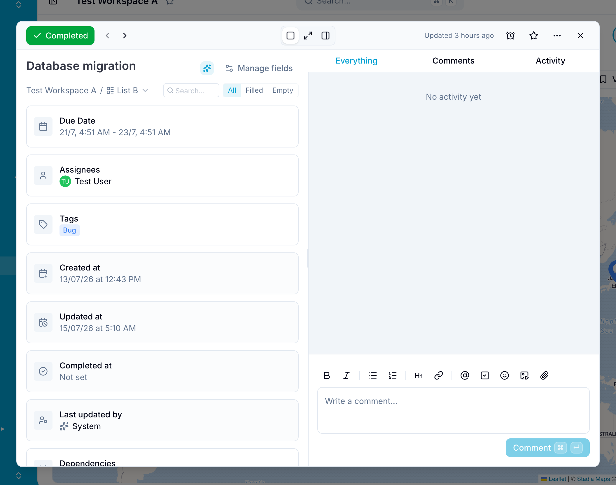
- Open one record: Select a marker that represents one record. Blue opens its details.
- Open colocated records: A marker with a number represents several records at one location. Select it, then select a record from the list to open it.
- Change a location: Drag a single-record marker to a new position. Blue converts the position to an address and updates the Location field.
- Navigate the map: Pan the map, select Zoom in or Zoom out, or select My location to move the map to your current location.
- Fit markers: When the map loads, Blue adjusts it to show all markers on the screen.
Blue remembers the position and zoom of the map for each workspace.
Dark mode
The Map view follows the current light or dark theme of Blue. It follows your operating system when the theme of Blue is Auto.
Map tiles
By default, Blue uses Stadia Maps tiles. Blue switches between light and dark tile styles based on the current theme.
Google Maps
You can use Google Maps instead of Stadia Maps. Google Maps can provide more map detail and more accurate location data in some areas.
This option requires a Google Maps API key. An organization owner must enter the key in organization settings.
Common uses
Use the Map view to:
- Plot customer, partner, or asset locations.
- Display service regions, sales territories, or market areas.
- Track shipment origins and destinations.
- Map event venues, job sites, or inventory warehouses.
- Monitor field employee positions.
- Locate geographical assets and points of interest.